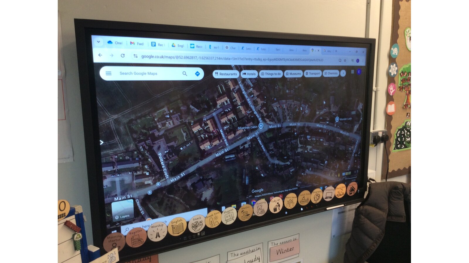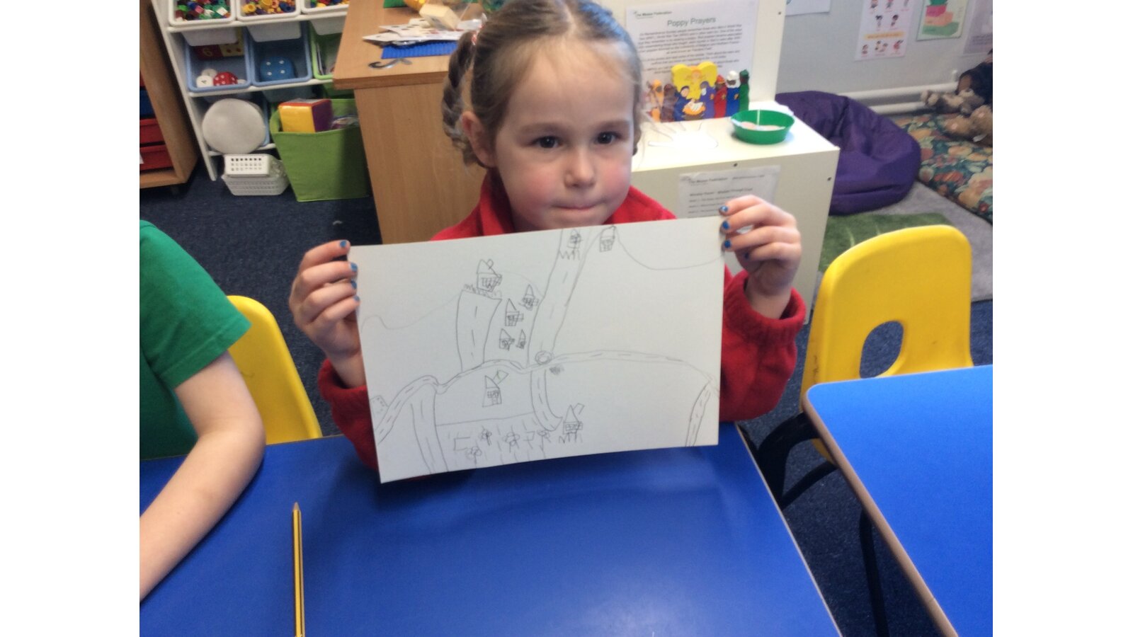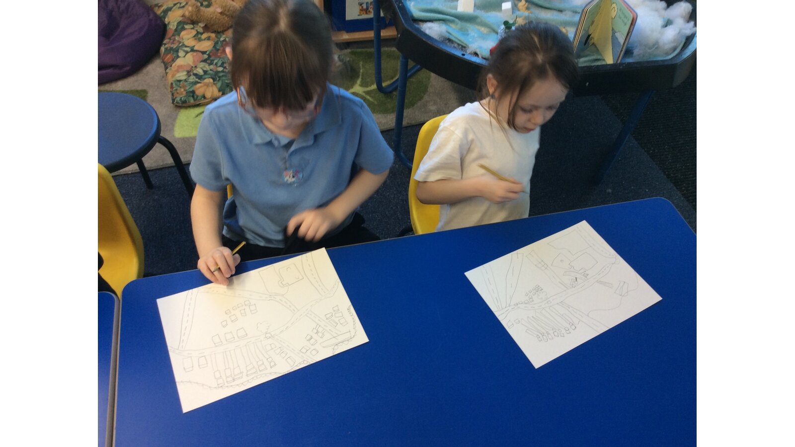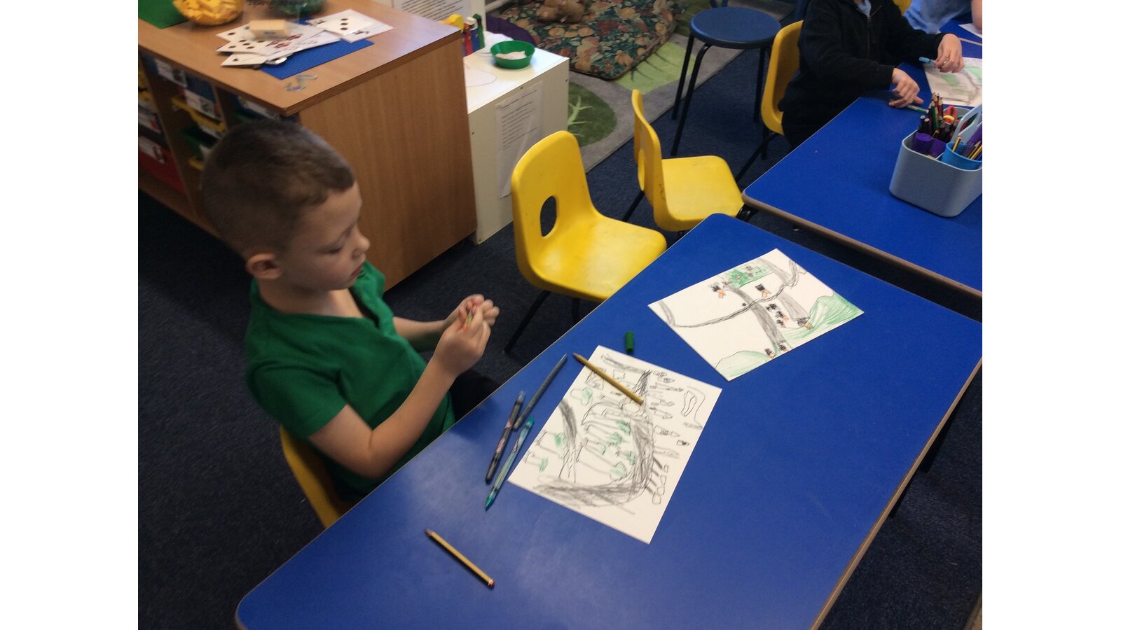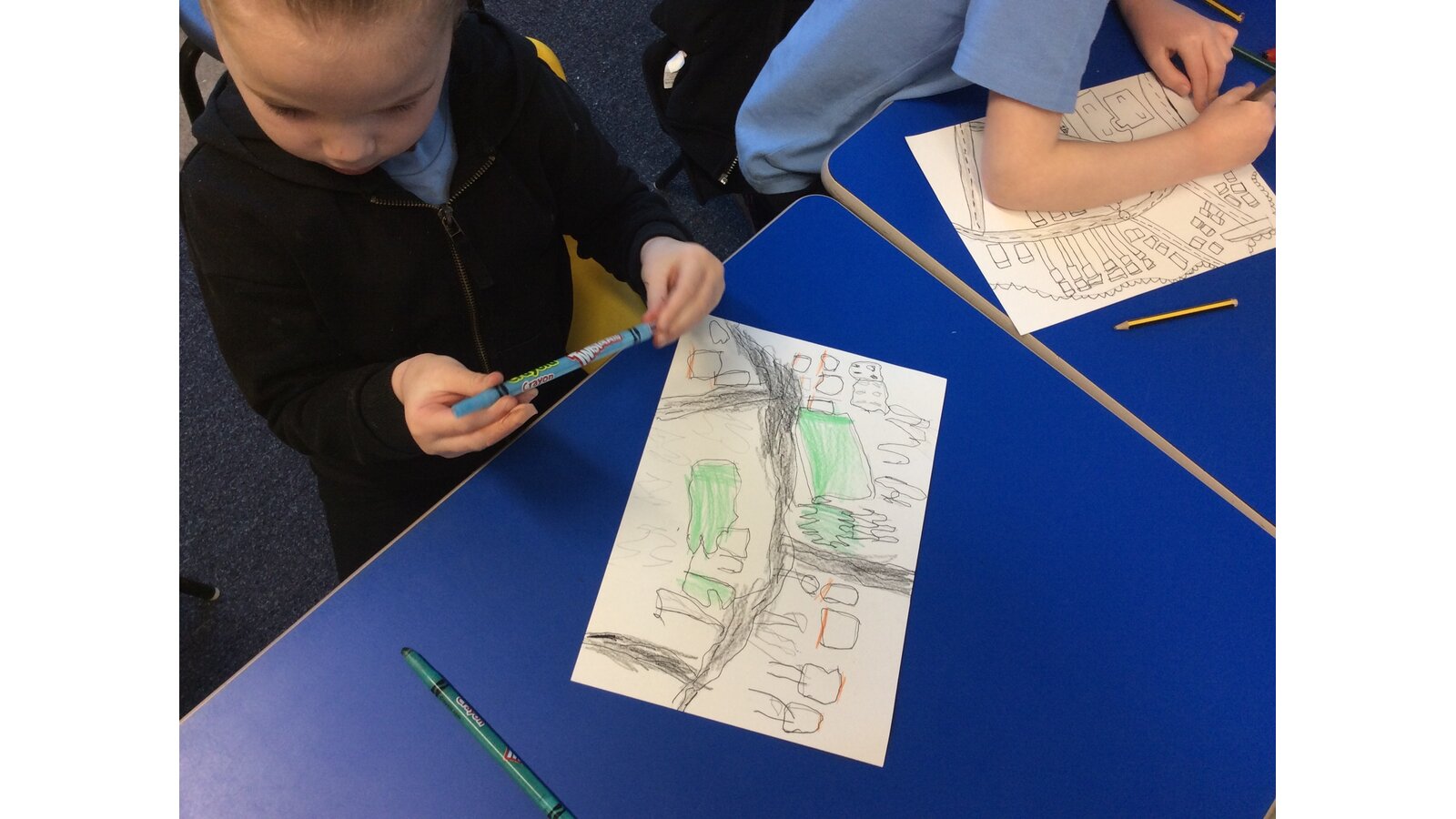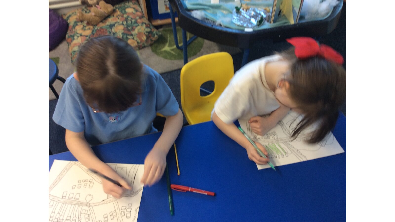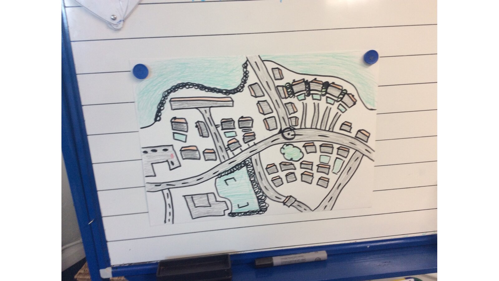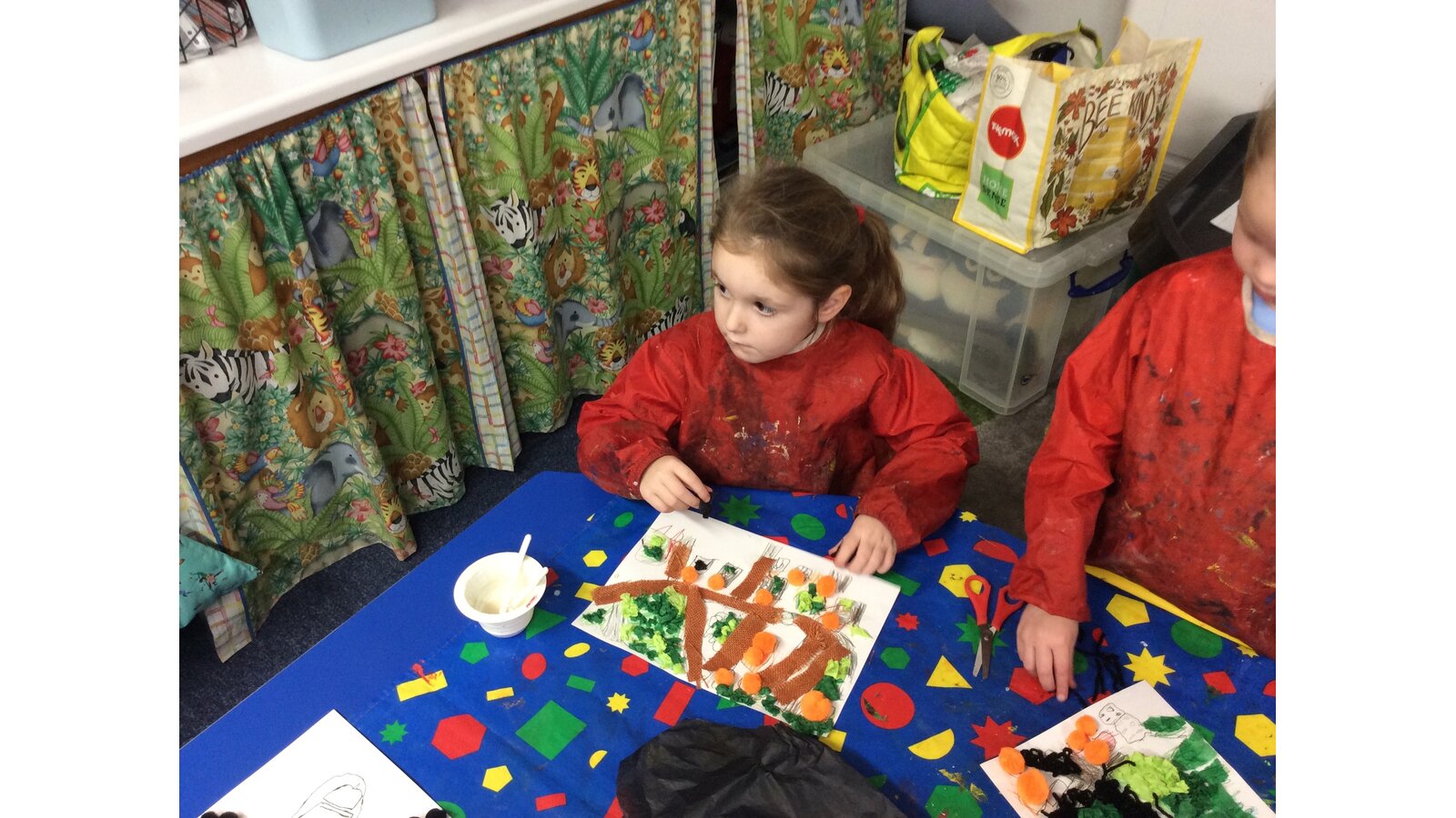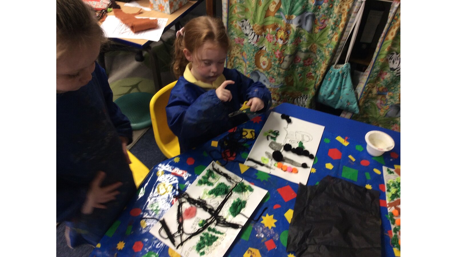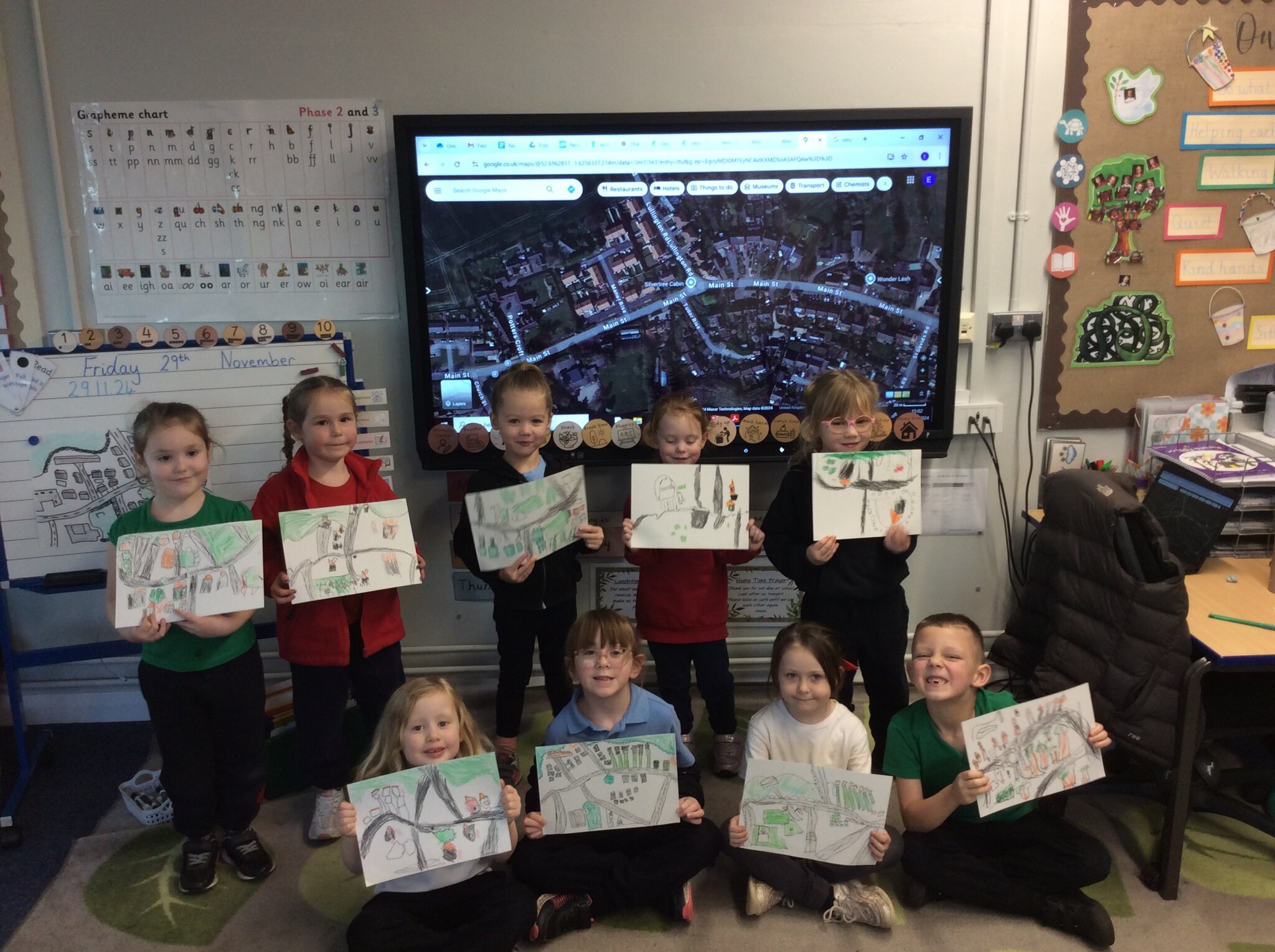
In our recent art lessons, the children in Class One became cartographers, creating beautiful maps of our local village, Clifton Campville! Using a satellite image, the children carefully drew the layout of their village, including houses, roads, fields, trees and the school, all from an aerial view.
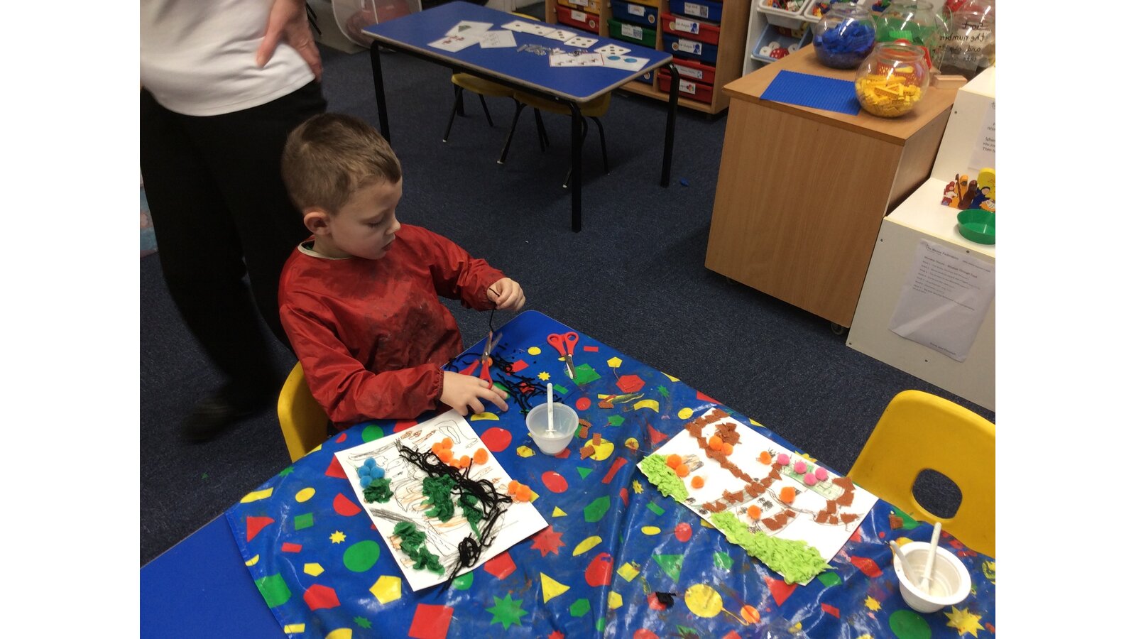
Once their maps were drawn, they brought them to life by adding vibrant colours. In the following lesson, creativity soared as they transformed their 2D maps into 3D masterpieces using materials like wool, pom-poms, felt, tissue paper and fabric. The result? Stunning, tactile maps that truly reflect the children’s artistic flair and growing understanding of the world around them.
It’s amazing to see how the children are learning about their community through art and having fun while doing it!
