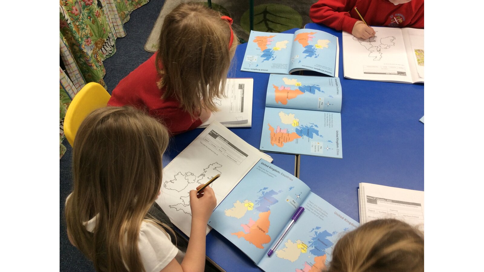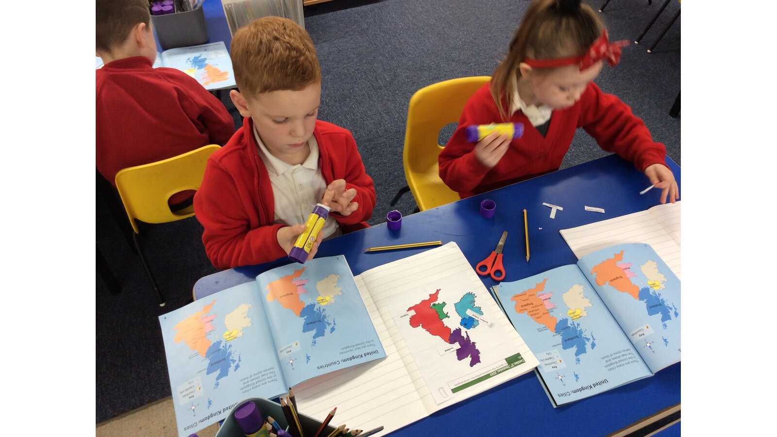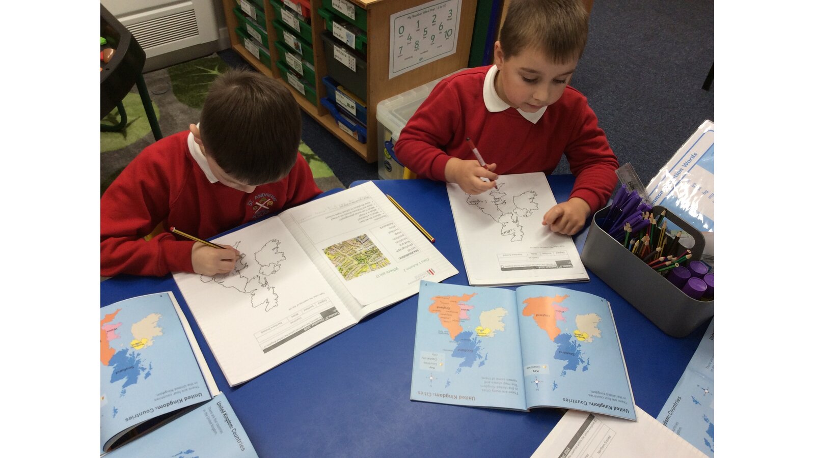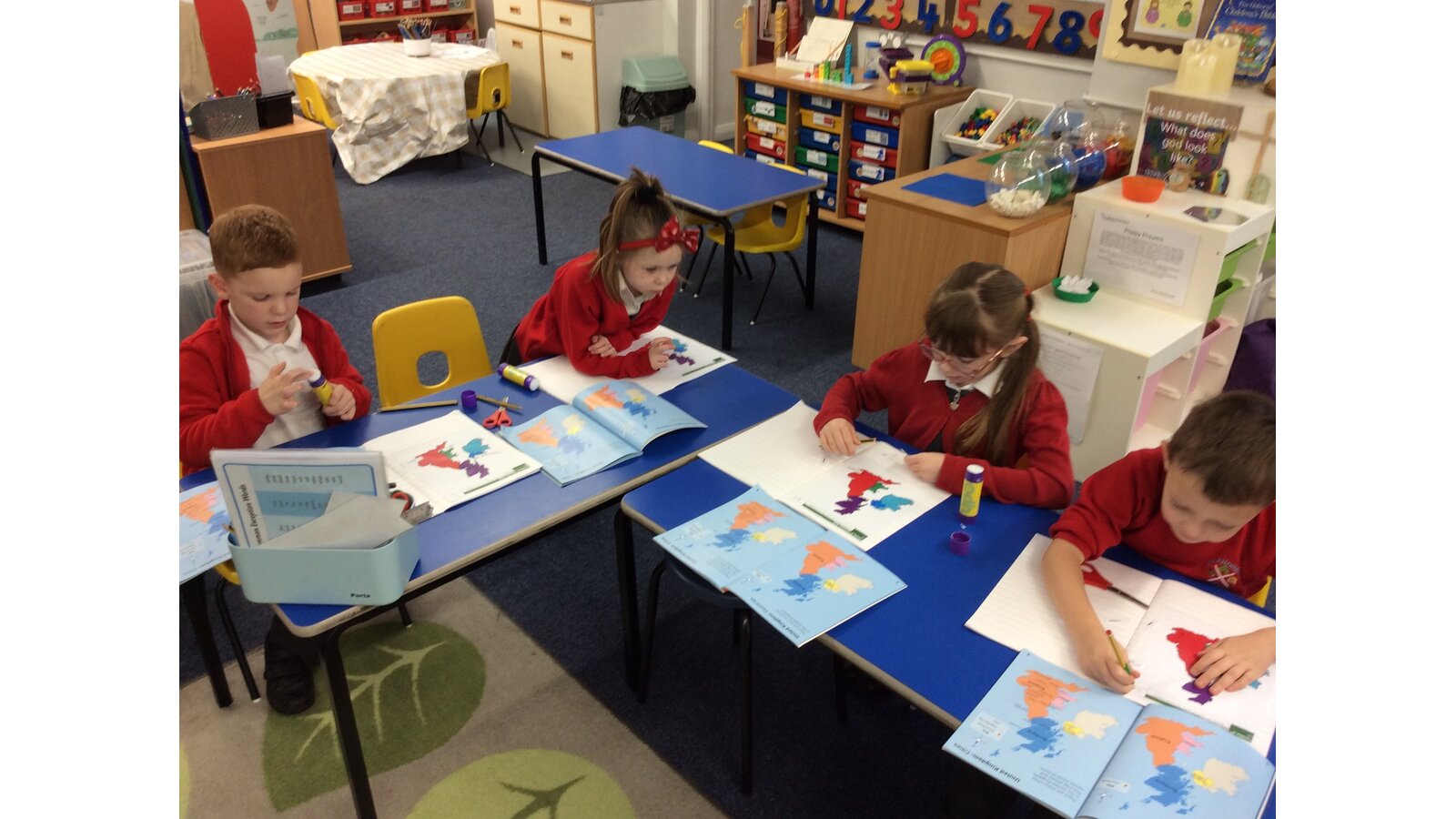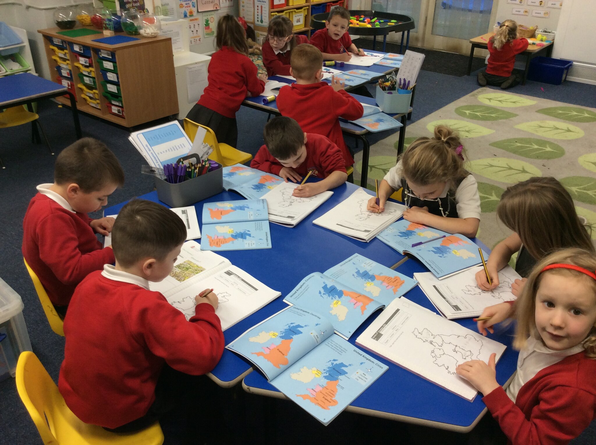
Today in our KS1 geography lesson, we went on an exciting journey across the United Kingdom - without leaving our classroom! Using atlases, our young geographers set out to discover more about the four countries that make up the UK: England, Scotland, Wales and Northern Ireland.
The children started by looking at the colourful maps in their atlases, identifying each country’s unique shape and position on the map. We learned how to find the names of the countries, their capital cities, and even explored how each has its own flag.
It was fantastic to see the children working together, sharing facts and developing their map skills. This activity helped them understand how to use an atlas to locate places and gave them a real sense of what makes each part of the UK special.
